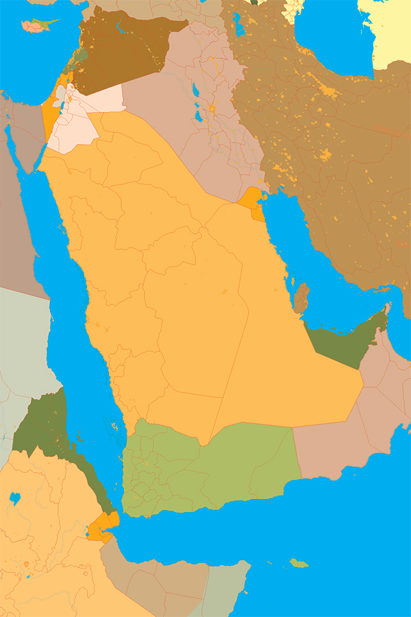
Abstract: During the first four decades of the 20th century, including both World War I and World War II, some archaeologists functioned within the fledgling intelligence communities as agents, analysts, and supervisors. They had local knowledge and technical expertise useful in generating military and political intelligence to advance their countries’ wartime agendas. They also used the data and techniques to pursue their own archaeological agendas and research programs. With the advent of spy satellites in the 1950’s new technologies have emerged for use by the intelligence community, and once declassified or made publically available, have been of great use to archaeologists. This talk will explore some of these historical connections as well as the new technologies that are reshaping how we view the past.
Fees – Free for C2ST & Oriental Institute Members / $20 for nonmembers, $5 for students
Speaker
Scott Branting is Director of the Center for Ancient Middle Eastern Landscapes (CAMEL) and a Research Assistant Professor in Near Eastern Archaeology at the University of Chicago. With M.A. Degrees in Hittitology (University of Chicago) and Geography (University at Buffalo), he crosses a number of disciplinary boundaries with his research. He has worked with numerous expeditions on five continents, but along the way has been a constant member of the Kerkenes Dağ Project in Turkey for twenty years and a Director of the project for the past seven years.
Event Details
Spies, Satellites and Archaeology: Mapping the Ancient Middle East
Where: The Oriental Institute at The University of ChicagoBreasted Hall
1155 East 58th Street
Chicago, Illinois 60637
for parking information please click HERE
When: 5pm Registration & Reception
6pm Presentation and Q&A
